Exploring the Past: From Ancient Trails to GPS – A Guide for Parents
Welcome to our comprehensive guide aimed at helping parents navigate through the fascinating journey of historical methods of land navigation and their modern counterparts. In an era where technology seems to overshadow traditional skills, it’s essential to appreciate and understand the roots of navigation that have guided explorers, merchants, and adventurers across deserts, oceans, and continents throughout history. As families who love outdoor activities like Camping and exploring various Camp places, why not take a step back and discover how our ancestors found their way across the vast expanses of our planet long before the advent of the smartphone?
The Stars Above: Celestial Navigation
Long before the compass and GPS, ancient mariners and travelers relied heavily on celestial bodies to guide their way. This section delves into how stars, the sun, and the moon provided a natural compass for those intrepid explorers. Learn how the North Star, Polaris, became a crucial point of reference for navigation in the Northern Hemisphere and how different cultures developed their methods and tools to interpret the night sky.
Marking the Earth: Landmarks and Cairns
Historical navigation wasn’t only about looking up; it was also about marking significant spots on the land itself. This part of our guide explores how natural and man-made landmarks served as vital waypoints for travelers on their journeys. Discover how cairns, piles of stones used as markers, have been utilized not just for direction but also to represent territories, hunting grounds, and safe passages across various landscapes.
Maps and Cartography: The Art of Land Depiction
The development of maps represents a significant leap in human ability to understand and navigate the earth’s surface. From the simplistic and sometimes imaginative maps of the ancient world to the detailed and precise cartographic works of the Age of Exploration, this section highlights the evolution of mapping techniques. Parents and children alike will enjoy learning about the history of mapmaking and how it changed the way people perceived the world around them.
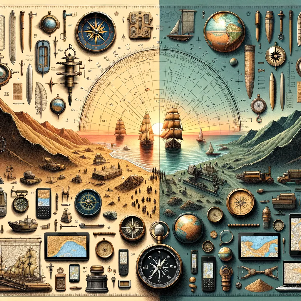
The transition from relying on the environment for guidance to utilizing sophisticated gadgets has revolutionized navigation. Today, technology allows us to pinpoint our exact location on the globe with stunning accuracy. But understanding the origins of these techniques not only connects us with our past but also enriches our appreciation for the advancements in navigation technology.
This guide is just the beginning of a fascinating journey through the history of navigation, exploring how ancient methods have evolved into the tools we rely on today. It invites families to embark on an educational adventure that spans the ages, uniting the old with the new in a celebration of human ingenuity and the spirit of exploration. Teaching children about these historical methods can spark their interest in science, geography, and history, providing a context for understanding how far humanity has come in its quest to explore and connect with the world.
So, whether you’re planning your next Camping trip or simply curious about the way our ancestors traversed the vast unknown, this guide is your doorway to a world of discovery. Embark with us as we chart the course from the starlit paths of yesteryears to the digital maps of today. Together, let’s navigate through time and celebrate the innovative spirit that has always driven humanity to explore beyond the horizon.
Exploring the Past: From Ancient Trails to GPS – A Guide for Parents
Welcome to our comprehensive guide aimed at helping parents navigate through the fascinating journey of historical methods of land navigation and their modern counterparts. In an era where technology seems to overshadow traditional skills, it’s essential to appreciate and understand the roots of navigation that have guided explorers, merchants, and adventurers across deserts, oceans, and continents throughout history. As families who love outdoor activities like Camping and exploring various Camp places, why not take a step back and discover how our ancestors found their way across the vast expanses of our planet long before the advent of the smartphone?
The Stars Above: Celestial Navigation
Long before the compass and GPS, ancient mariners and travelers relied heavily on celestial bodies to guide their way. This section delves into how stars, the sun, and the moon provided a natural compass for those intrepid explorers. Learn how the North Star, Polaris, became a crucial point of reference for navigation in the Northern Hemisphere and how different cultures developed their methods and tools to interpret the night sky.
Marking the Earth: Landmarks and Cairns
Historical navigation wasn’t only about looking up; it was also about marking significant spots on the land itself. This part of our guide explores how natural and man-made landmarks served as vital waypoints for travelers on their journeys. Discover how cairns, piles of stones used as markers, have been utilized not just for direction but also to represent territories, hunting grounds, and safe passages across various landscapes.
Maps and Cartography: The Art of Land Depiction
The development of maps represents a significant leap in human ability to understand and navigate the earth’s surface. From the simplistic and sometimes imaginative maps of the ancient world to the detailed and precise cartographic works of the Age of Exploration, this section highlights the evolution of mapping techniques. Parents and children alike will enjoy learning about the history of mapmaking and how it changed the way people perceived the world around them.
The transition from relying on the environment for guidance to utilizing sophisticated gadgets has revolutionized navigation. Today, technology allows us to pinpoint our exact location on the globe with stunning accuracy. But understanding the origins of these techniques not only connects us with our past but also enriches our appreciation for the advancements in navigation technology.
This guide is just the beginning of a fascinating journey through the history of navigation, exploring how ancient methods have evolved into the tools we rely on today. It invites families to embark on an educational adventure that spans the ages, uniting the old with the new in a celebration of human ingenuity and the spirit of exploration. Teaching children about these historical methods can spark their interest in science, geography, and history, providing a context for understanding how far humanity has come in its quest to explore and connect with the world.
So, whether you’re planning your next Camping trip or simply curious about the way our ancestors traversed the vast unknown, this guide is your doorway to a world of discovery. Embark with us as we chart the course from the starlit paths of yesteryears to the digital maps of today. Together, let’s navigate through time and celebrate the innovative spirit that has always driven humanity to explore beyond the horizon.
Disclaimer
The articles available via our website provide general information only and we strongly urge readers to exercise caution and conduct their own thorough research and fact-checking. The information presented should not be taken as absolute truth, and, to the maximum extent permitted by law, we will not be held liable for any inaccuracies or errors in the content. It is essential for individuals to independently verify and validate the information before making any decisions or taking any actions based on the articles.